How to visit the Harlan D Miller Bridge
(Dog Creek)
The 1927 Harlan D Miller / Dog Creek Bridge near Delta, California, just north of Lake Shasta, is one of the more scenic and unique bridges on US 99 in California. It isn’t something you can see easily either if you’re travelling I-5 as the canyon is just curved enough to hide it. Despite all this, it is well known.
What isn’t well known is how to get there. It is on public land and is very much accessible. To keep it this way, we strongly encourage heeding any “private land / no trespassing” signs you may encounter in the area. Always respect the adjacent landowners as they can make it a lot tougher for all of us.
With this in mind, the question is always “How do you get there?” Well, we are here to tell you the legal and proper way to do it.
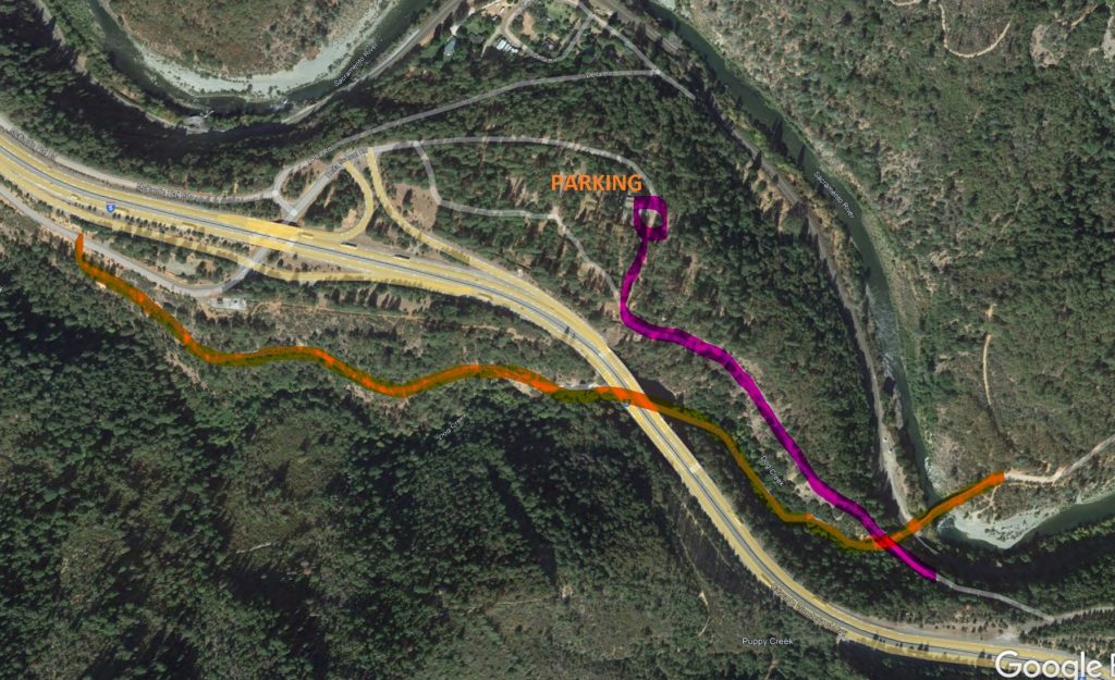
Access to the bridge is initially off of I-5 at Delta / Vollmers / Exit 707. Either direction you come from, go to the north side of the freeway (RIGHT if northbound, LEFT if southbound) and follow Delta School Road to its terminus. There, you will find parking. Please respect the landowners and DO NOT BLOCK their access points. There is plenty of available parking. Disregard the “NO RIVER ACCESS” signs, as you’re obviously not seeking such.

Once parked, proceed south. There are two paths. Take the one to the right, following a narrow roadway down until you reach the freeway right-of-way. At that point, go to your left (southerly) still following the path. There will be some trees that have fallen across the path. Follow the best course, usually to the right, across these trees. After you pass, you’ll see a still well-defined path, sometimes with remnant paving and stone arch railing adjacent. Now you’re following Historic US 99. Keep going along the path. Not long after you’ll see the bridge. The distance from parking to the bridge is only 0.4 miles, which isn’t much.
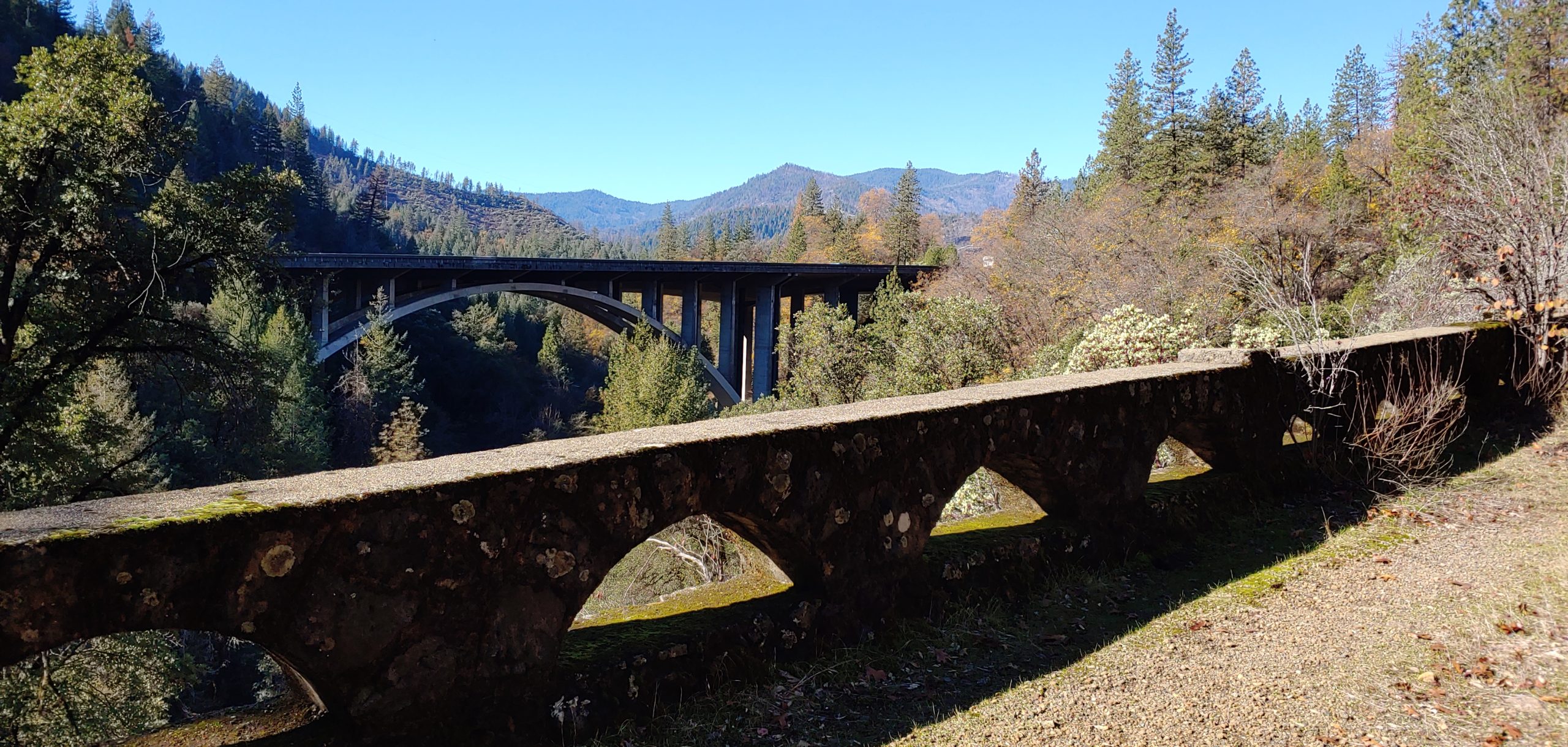
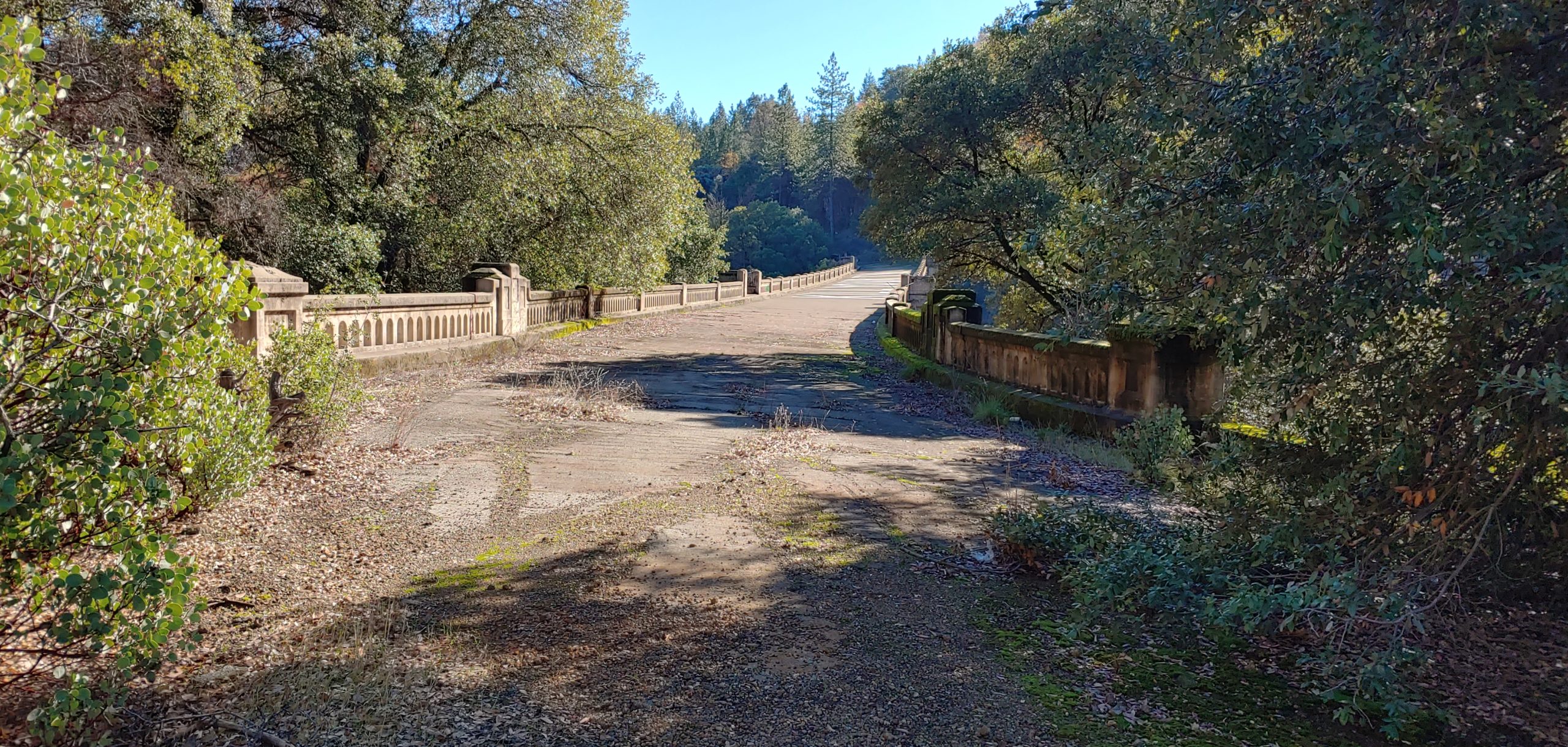
At the bridge, it is up to you. One thing to watch for are holes in the bridge. At the south end, there are “core sections” taken from the bridge. As such, these holes are an issue and should be addressed with caution. Please, do not add to the damage to the bridge and always use caution around it.
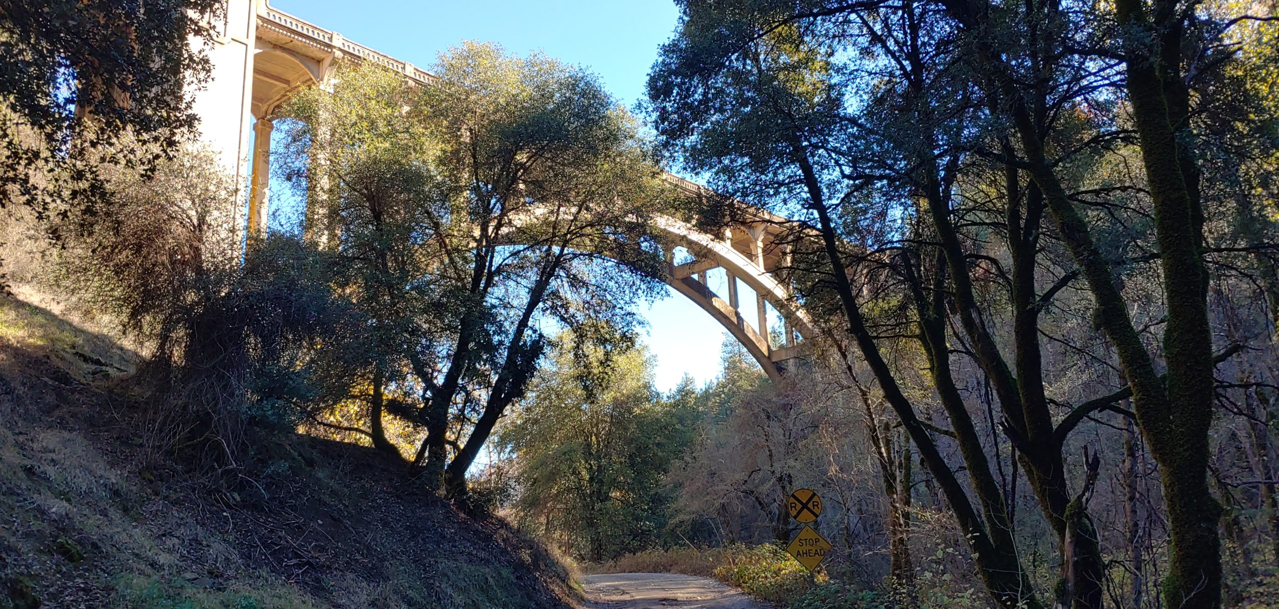
To return, use the same path. Now you know how to get to the famous Harlen D. Miller Bridge, otherwise known as the Dog Creek Bridge. For an additional view, take a trip down Fenders Ferry Road, just west of I-5, and see the view below the bridge. It is worth the effort! There is a bonus 1920’s concrete span on the way.
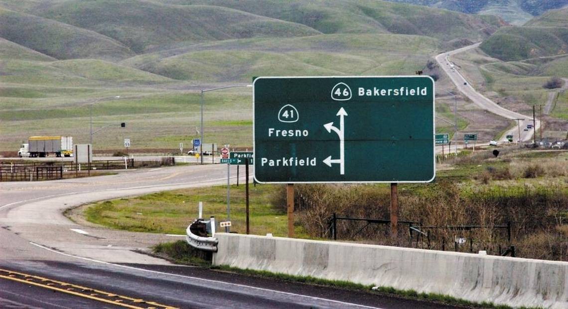
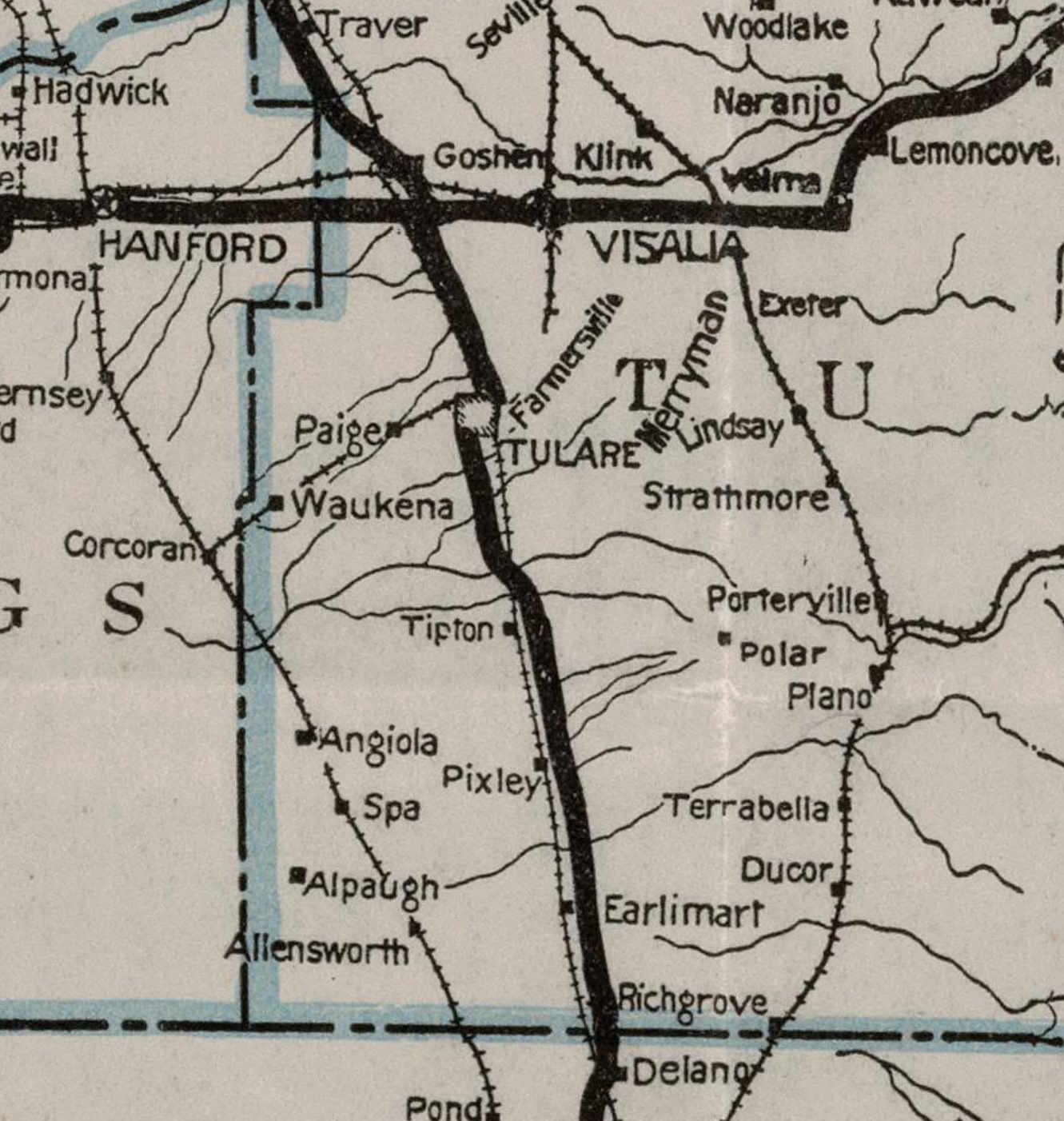
99 Alert – Calimesa Area Update
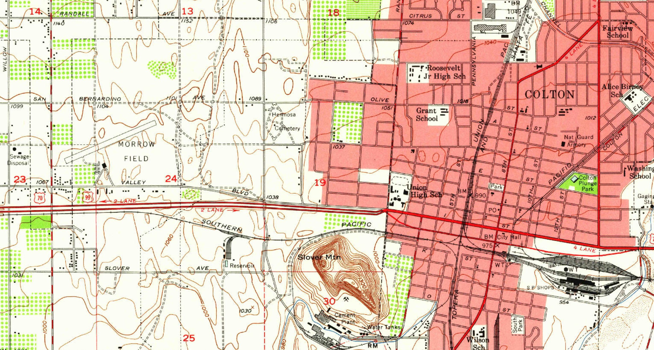
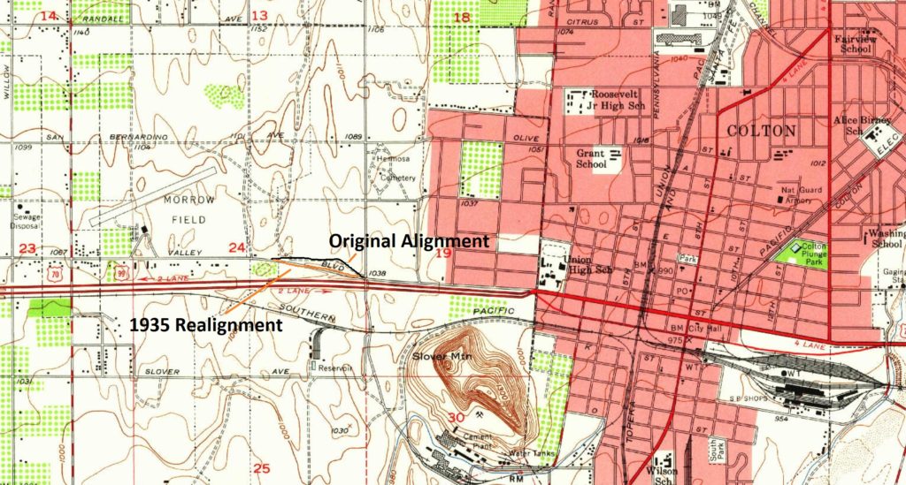
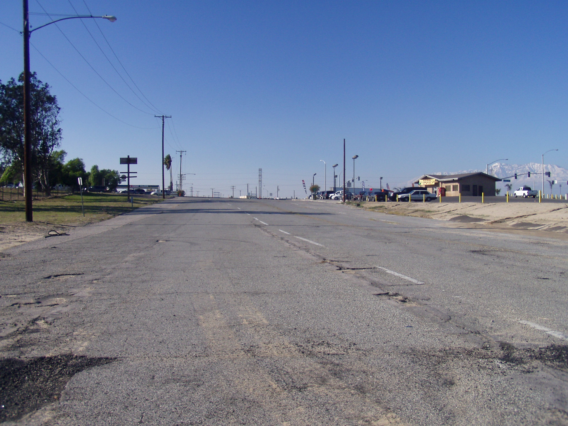
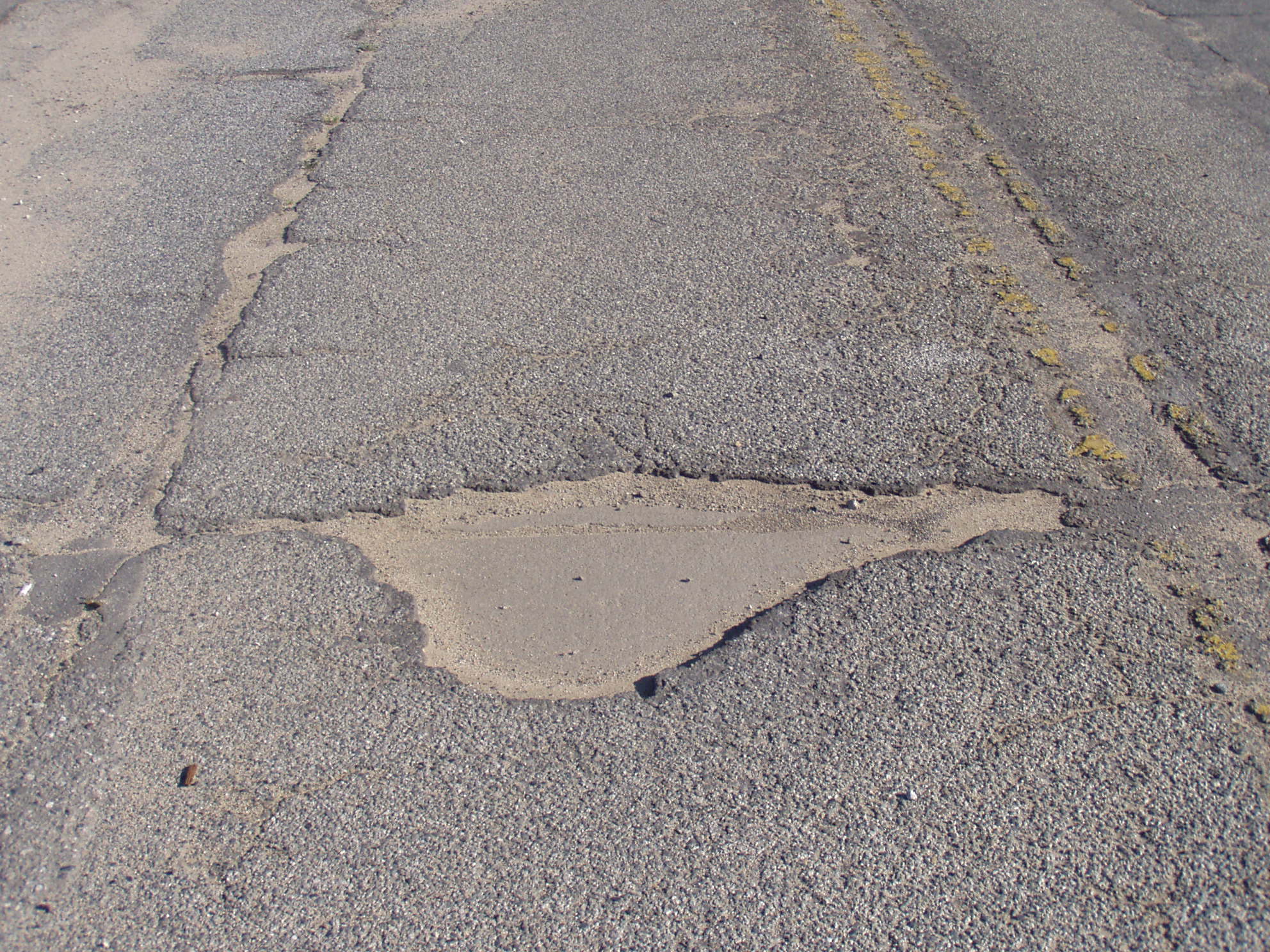
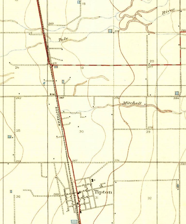
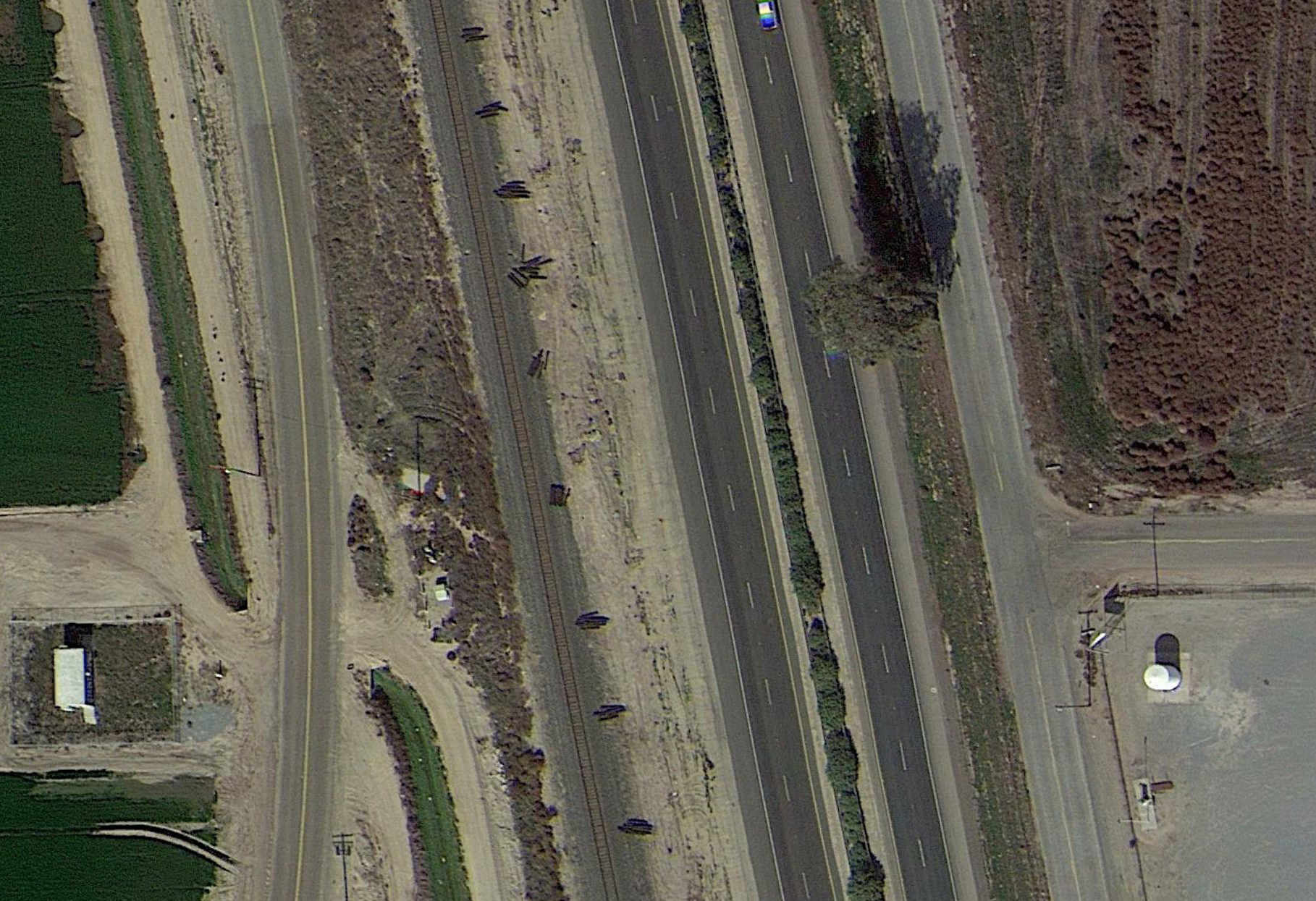
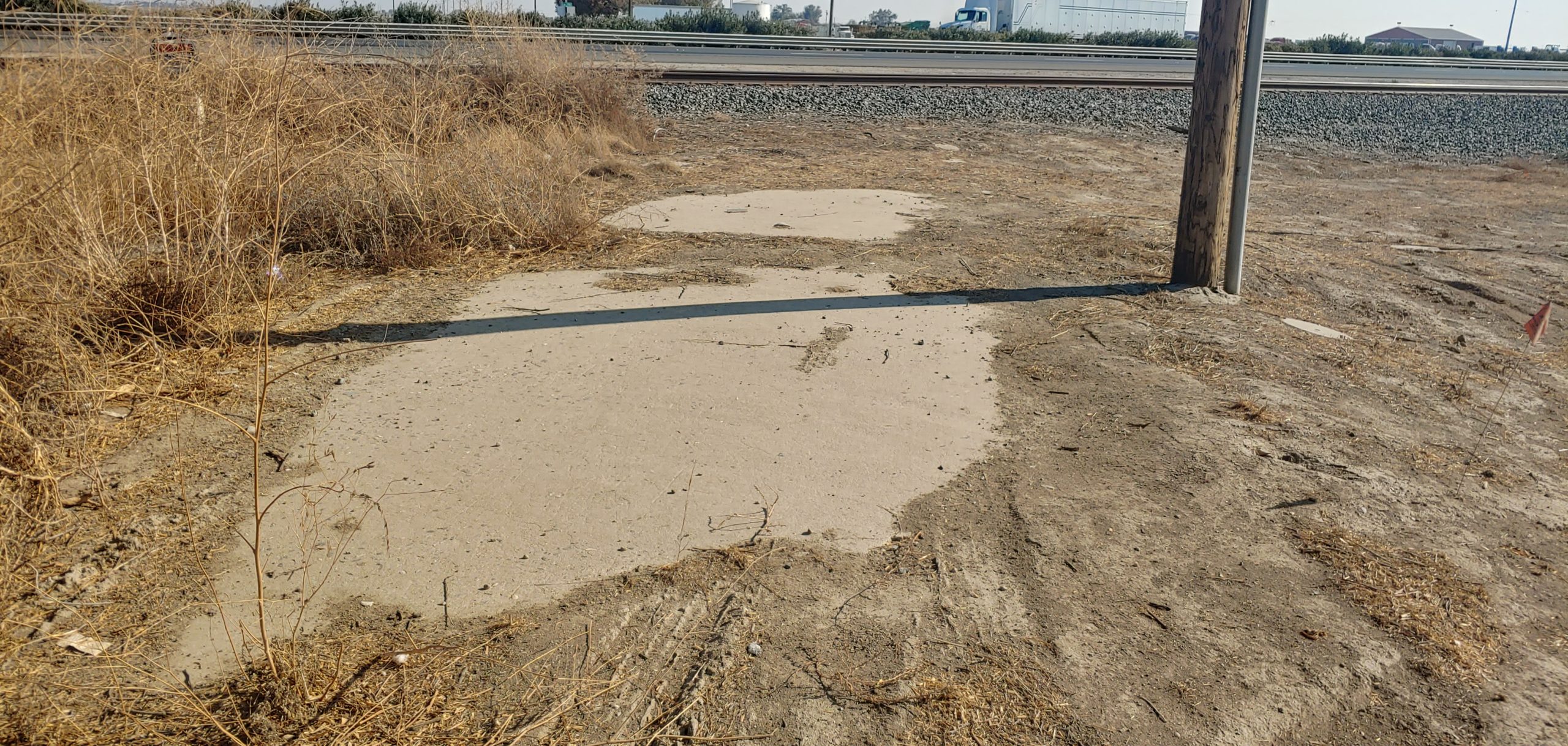
A section of intact 1926 US 99 concrete remains near Cherry Valley Blvd on Roberts Road, for how long we do not know. We initially posted a 99 Alert back in January 2021. In all likelihood, it will be removed due for a housing tract in the next couple of years. We can, however, push to get at least a portion preserved. There are contractors date stamps along the roadway which we would like to see saved. We need your help and your voice to do this. Caltrans and the Riverside County Transportation Commission are proposing changes at the Cherry Valley Blvd / I-10 interchange, which would directly impact the old alignment.
The Riverside County Transportation Commission and Caltrans will be holding a public meeting via Zoom regarding the adoption of environmental study documents on January 13, 2022 between 1700 and 1900 (5 pm to 7 pm). Please help! Your voice is important! The meeting can be access via the link below.
https://us06web.zoom.us/j/85829724839%C2%A0
For additional information on the project and to comment on the project, check out the following link:
https://rcprojects.org/cherryvalley
Meetings
Beginning in 2022, our meetings will now bi-monthly as well as our newsletters. Our next meeting will be on January 11 at 1800 (6 pm) via Zoom. We are also looking for presenters! If you would like to share your knowledge about US 99 history or something along the way, let us know!
Historic US 99W Zoom Presentation
At the January 11th Zoom Meeting, I will be presenting the story of Historic US 99W from Sacramento to Red Bluff. As you know, US 99W no longer exists today by that name, but nearly all of the original route does still exist, some of it was also used by the Lincoln Highways northern route.
This presentation will follow the Historic US 99W Travel Guide that I wrote in 2019. We will cover the route and things to see and do in each on the 5 counties that US 99W passes through. The story will be told through maps and pictures, some historic.
I hope you will join me,
Mike Herman
Historic US Highways
To register, please use the link below:
https://us06web.zoom.us/meeting/register/tZErf-uurzwjHdwKCnCdcXpnBxmcpYR9Tuf2
Membership and Donations
As we slowly ramp up our efforts to get Historic Route signage placed in various cities and historic locations such as the Pine and Palm, we need your support. You can do this by becoming a member, donating money, or by volunteering with our Association. We are a 501(c)3 non-profit corporation and your donations may be tax deductible. Why not help reduce your tax burden for 2023 by donating prior? We can also use your help with some of our projects, website, and our newsletter. Having someone local to act as our ambassador or liaison would be of great help. We are also working out how to handle renewals for existing members. Initially, we had planned to have all memberships expire at a specific time. At this time, we are looking to have memberships expire at the end of the month initially obtained. We will be sending out another message soon to explain how to renew. Join now and help us grow!
We do wish to thank all those that have donated and become members thus far. Our most recent project in Madera couldn’t have happened without your support!
Photo Request
We are working on an article about the town arches along Highway 99 and we need your help. We are seeking photos of the following arches:
- Modesto
- Lodi
- Orland
The photos should show preferably the entire arch. If there is a dedication plaque nearby, we could use help with that as well.
Highway 99 Discussion Forums
We restarted our online discussion forums for Historic Highway 99. Come join in! Tell your Highway 99 stories, discuss your favorite place along the road, learn about the history, and more!
https://historic99.org/forums/
Upcoming Projects
Things are looking up! We have a few projects in the works at various levels now. In Madera County, we are working on posting signs to mark the Pine and the Palm along Highway 99. Design of the sign is now complete and we are looking into costs for posting the sign. We are also looking into getting it designated a “Historic Landmark”, which is something we will need help with. We intend to work with local historical societies, Madera County, and Caltrans to get this done.
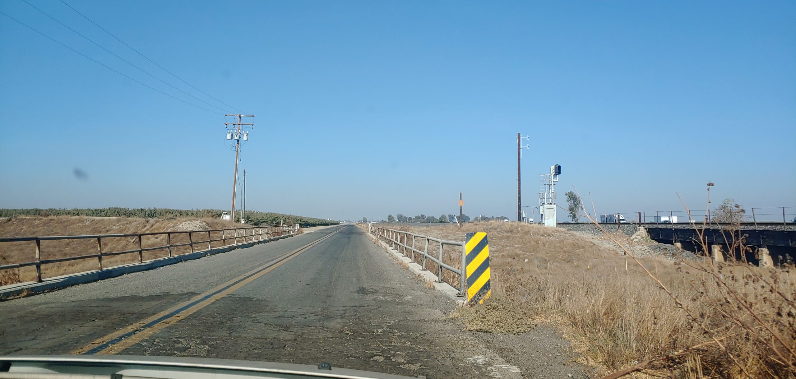
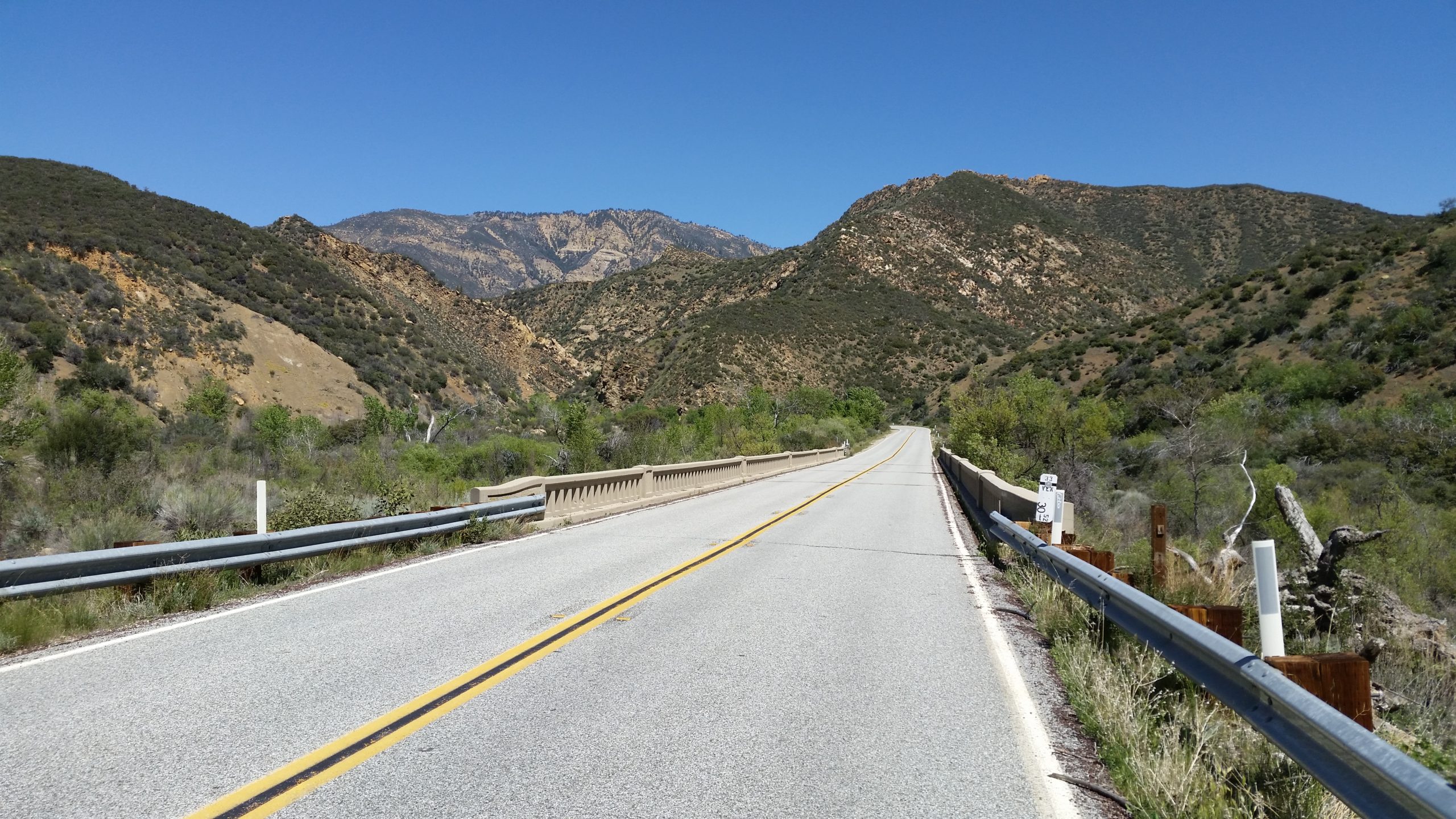
We will also be working with Caltrans District 2 to have Historic Route signs posted along State Highway 263 between Yreka and Hornbrook along the Historic Shasta River Canyon alignment. After surveying the route, we have determined that six signs should be posted. These signs would be posted at the 3/263 junction, 1931 Pioneer Bridge, and at the 96/263 junction. We can use help with raising funds for the three signs we plan to get posted.
If you have an idea for a project for the 99 Association or would like to get involved, let us know!
Featured Photo
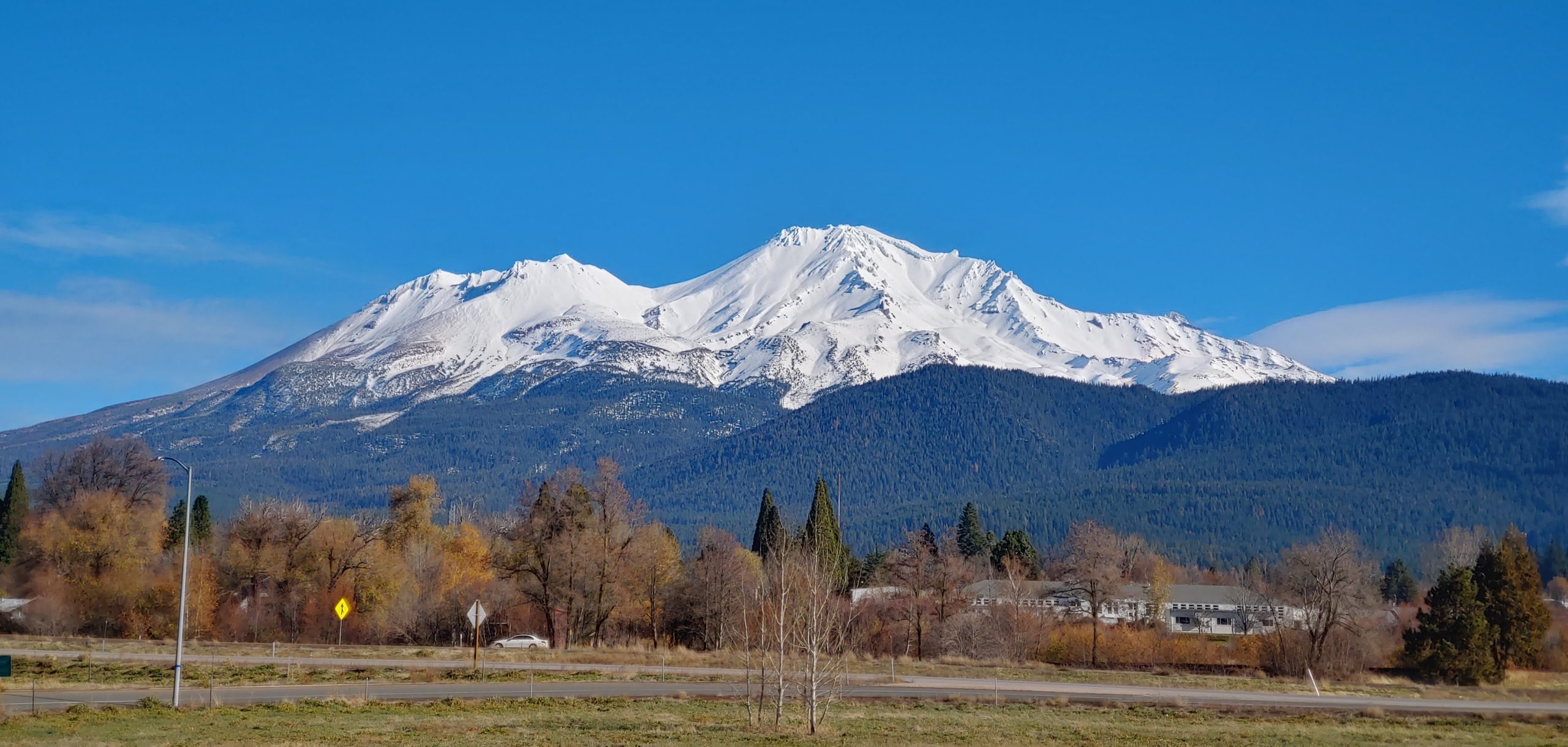
Mt Shasta is one of the most scenic mountains in California. At 14, 162 feet in elevation, it is also the fifth highest peak in California and the tallest volcano in California. It last erupted in 1786. On a clear enough day, the peak can be seen from well over 100 miles away. Some of the best views can be had along US 99 from Dunsmuir to Yreka and US 97 just north of Weed. Where is your favorite view of the mountain?