Old routes, destinations, and even locations that have long since disappeared from maps sometimes reappear or never really disappeared on road signs. These “ghosts” appear in many forms, if you know what to look for. Mind you, some are more obvious, as shown in the photo below where a piece of overlay, or “greenout” fell off in early 2023, showing the old sign message.
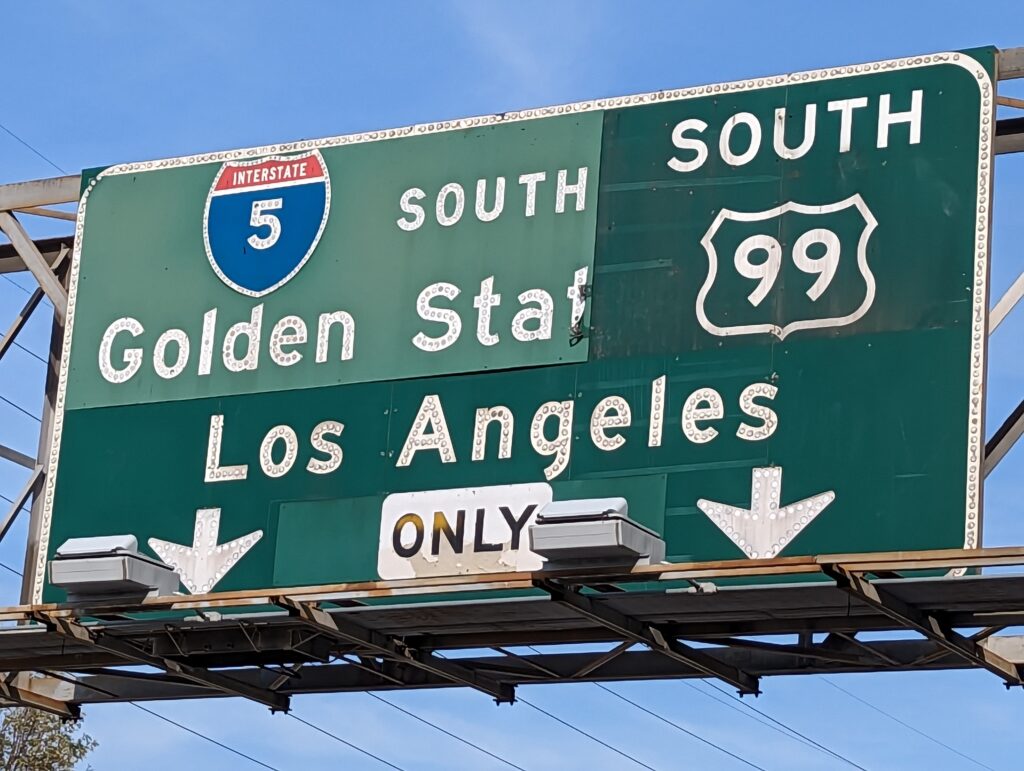
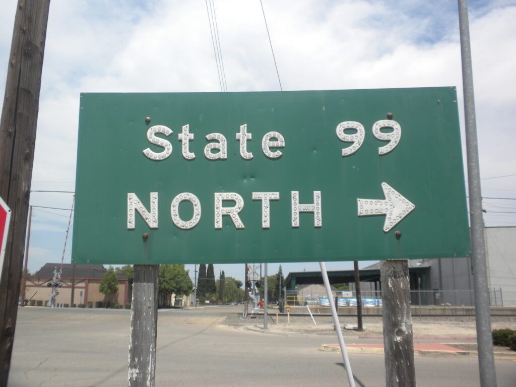
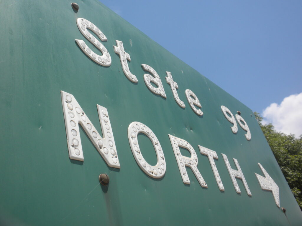
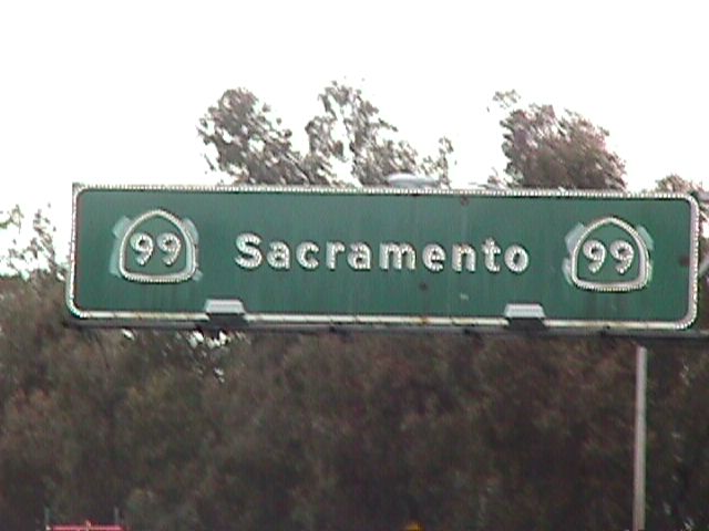
Sometimes the sign is on full display where the message was just modified, such as these signs along 99 where either US was replaced with STATE or the shield shape was modified.
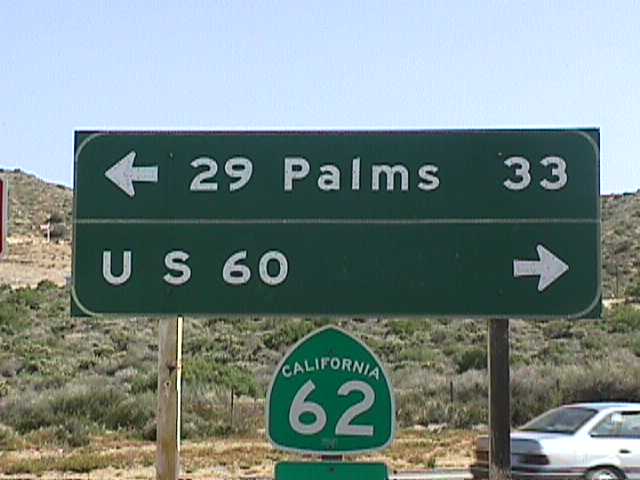
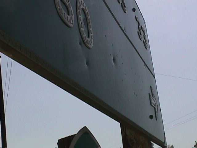
Sometimes not all of the old text was removed. In this case, US 60 remained but, if you look closely, you can spot the holes for a 70 and 99 to the right of the 60.
In some instances, the old route is “peaking out” from under the overlay. Instances of this could be found in Atwater and Beaumont until not all that long ago.
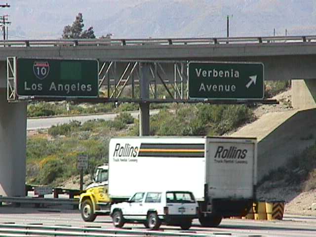
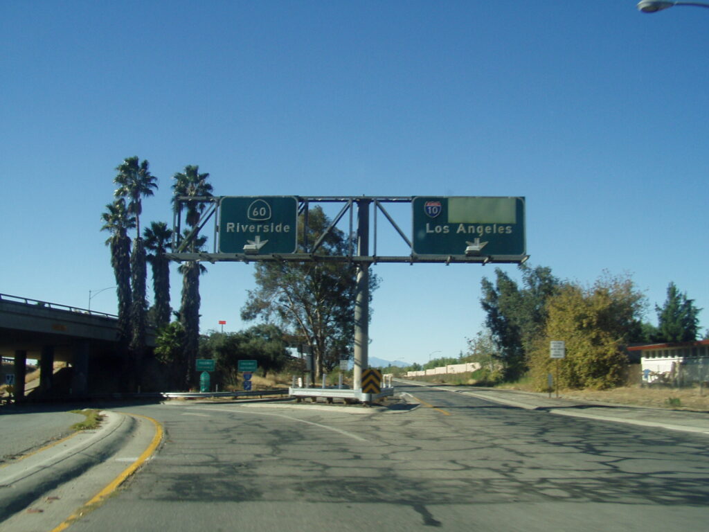
Other signs had complete overlays placed but was still obvious that there was something more. Usually in these cases, the alignment of the shields was a clue or the different colored panels that were placed.
As you can see, there are many ways old routes can be found on signs. Even if covered, document everything you find. You really never know when one of these will be replaced or might perhaps reveal a “ghost” from the past. If we have missed. let us know and we’d be happy to showcase it on our site, with proper credit of course.