Back in July, we had a request for a photo of a section of roadway near Herndon, CA. In early November, I finally got a chance to get up there myself and investigate what looked like original paving. Turns out, I was correct!
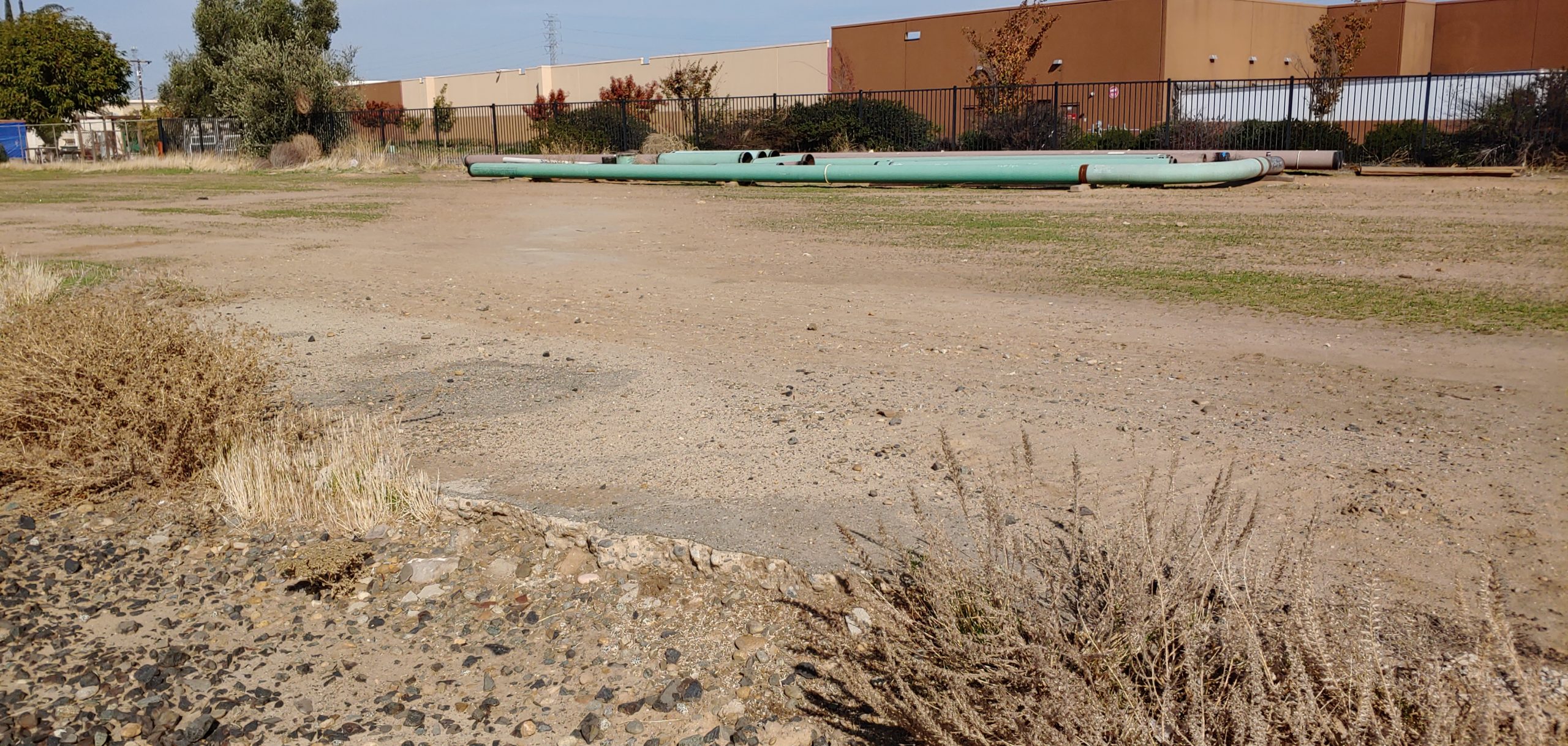
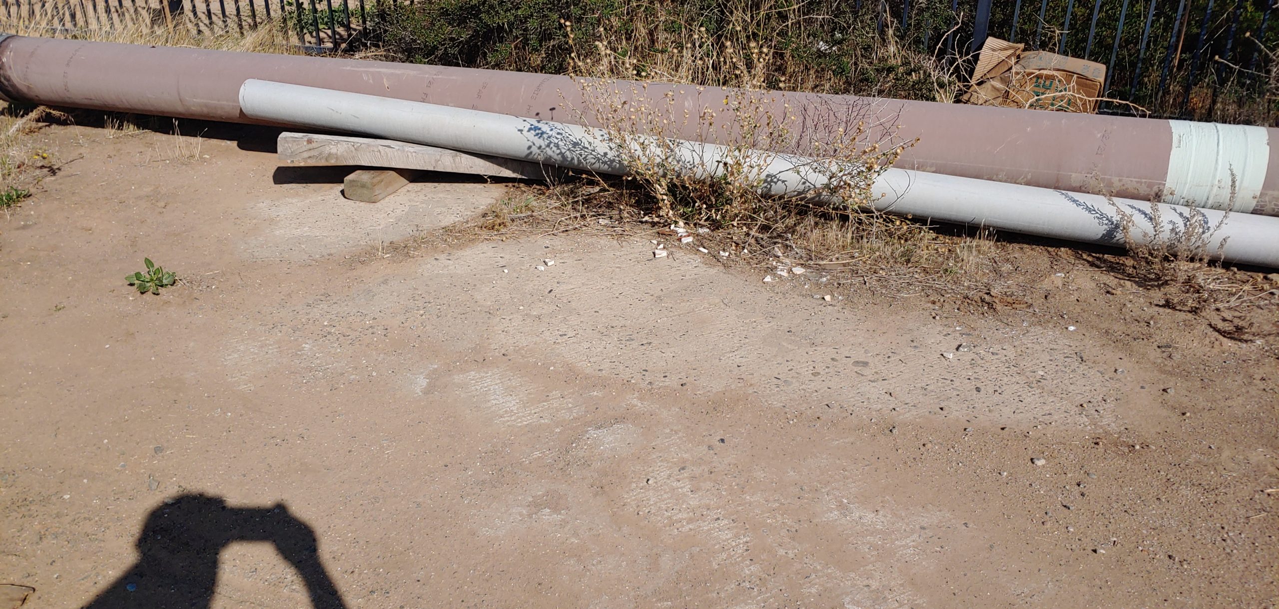
Since being bypassed in 1927, this roadway has gone through a lot. The railroad line has been upgraded, buildings constructed, fences installed, and more. Despite all that, it persists to this day. However, the paving may not last for very longer. Construction of the CAHSRA and the relocation of Golden State Blvd will likely remove any trace of this paving in the next couple of years. Sections like this are getting rare and need to be preserved in some way, even if only in photos. Use every opportunity you can to get out there and explore Historic US 99. Document what you find. You never know if that may be the last time you see it.
If you have a photo of a section of US 99 that you’d like to share or would like to know more about, let us know!
Good Job Michael!
Did old 99 continue along Weber to a now non-existent bridge or did it bend back to Golden State Blvd?
The alignment crossed the San Joaquin River on a bridge since removed and did use Weber Ave. It rejoined current 99 near Ave 7.