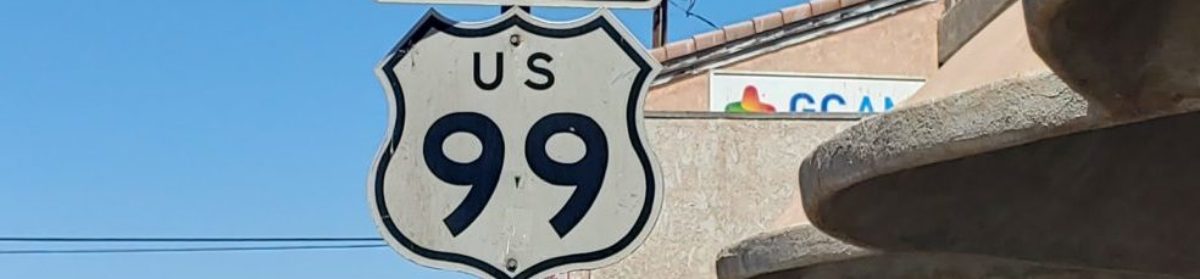
On June 1, 2021 at 6 pm, we will be hosting a Zoom presentation on US 99 beneath Lake Shasta from Bridge Bay to Lakehead. Photos of the exposed highway as well as some historic photos will be shown. Most of the photos are from October 2008 as that was the lowest point I saw it. Information on how you can monitor reservoir levels and understand what can be seen will also be covered. Registration is required for the meeting.
https://zoom.us/meeting/register/tJItduuuqDkoGtYW7kV9Mcxa3QI4FOGQLFCR
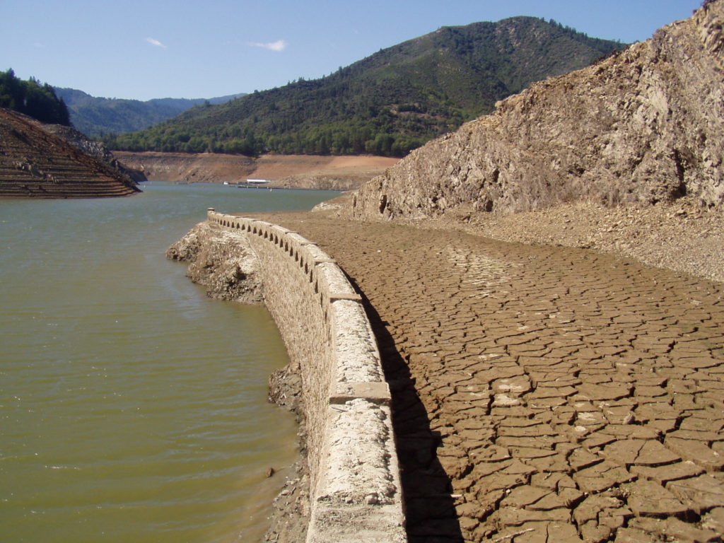
Looks like we’re headed for another super-low lake level this Summer.
I’m already looking at coming up that way sometime in October depending on lake levels. Might not quite get low enough until 2022 depending on how the winter goes.